

Author: Site Admin
-
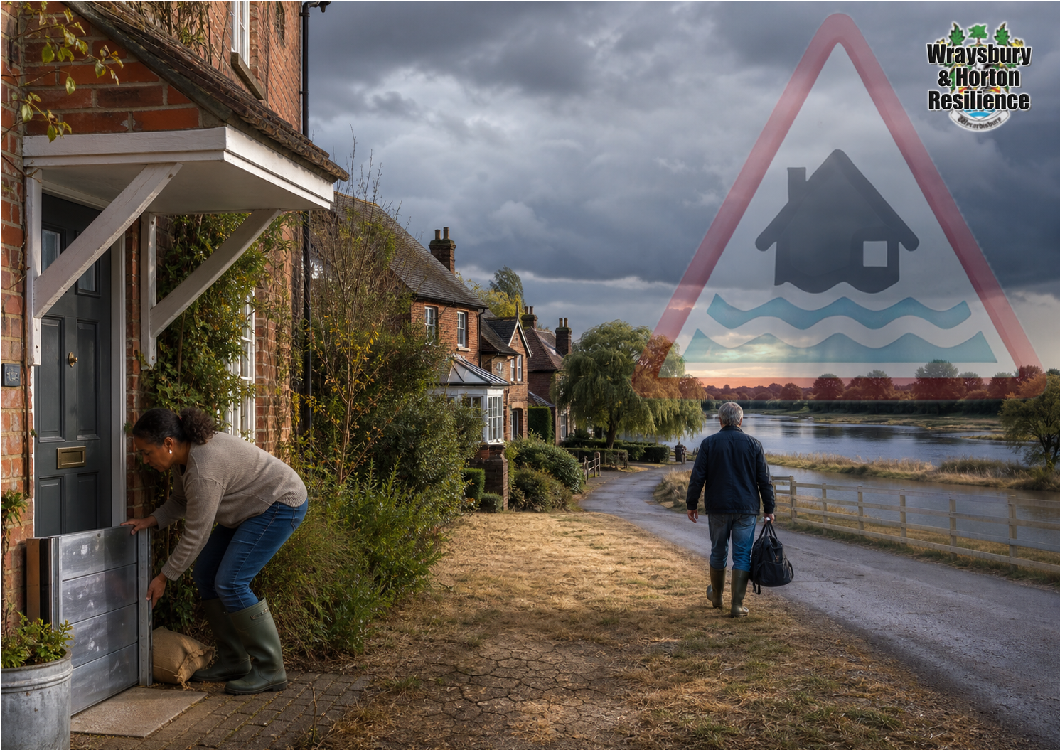
What does the recent Met Office El-Niño Warning mean for Wraysbury & Me?
Take 2 minutes to read our analysis and explanation. Find out what it might mean, and how it might affect us in Wraysbury.
-
What does the Met Office Warning mean for Wraysbury?
The Met Office has warned that the developing El Niño could be the strongest in living memory. This does not mean that Wraysbury will flood. It does mean that the possibility of a wet and stormy autumn and early winter has increased—and that a community with Wraysbury’s history should use the warning time wisely.
El Niño is a natural warming of the tropical Pacific Ocean that can disrupt weather patterns around the world. According to the BBC report published on 21 August, temperatures are already more than 2°C above normal in the key monitoring region, while Met Office forecasts suggest the anomaly could exceed 3°C later this year. Professor Adam Scaife, the Met Office’s head of long-range forecasting, described the signal in its forecasts as unprecedented.[1]
Its effects are strongest around the Pacific. In Britain they are less direct because our weather is also controlled by the Atlantic, the jet stream and other climate influences. Nevertheless, the Met Office says El Niño can increase the likelihood of milder, wetter and windier conditions during autumn and early winter. It may also increase the chance of colder, calmer weather later in winter, although these UK connections are less certain.[2]
This is a warning about increased risk, not a prediction that a particular Wraysbury road or house will flood. But resilience is not about waiting for certainty. It is about recognising a credible threat early enough to reduce its consequences.
What Wraysbury’s history tells us
Wraysbury does not need to imagine what prolonged Thames flooding looks like. The local record includes extensive flooding in 1947, significant flooding in 2003, the prolonged emergency of 2013–14 and the impacts of Storm Henk in January 2024.[3]
The Royal Borough’s investigation of Storm Henk found that Wraysbury Parish experienced the widest flooding impacts in the borough. The Thames broke its banks in several places, roads were closed, groundwater rose beneath and around properties, and some residents reported water remaining in their gardens four months later. The report also describes links between river water, local lakes, groundwater and the Wraysbury Drain.[4]
The winter of 2013–14 shows why persistence matters. During the 66 days to 16 February, the Thames catchment received 409mm of rain—equivalent to 56% of annual rainfall. The slow-reacting lower Thames did not reach its peak flow until mid-February, when 507 cubic metres per second was recorded at Kingston.[5]
A flood emergency therefore does not necessarily begin with one extraordinary downpour over Wraysbury. It can develop through repeated rainfall across the enormous upstream catchment. As soils become saturated, more water reaches streams and rivers; groundwater rises; drains and sewers come under pressure; and access routes may be lost before water enters a home.
Wraysbury also faces several interacting sources of flooding: the Thames, surface water, groundwater, smaller watercourses, drains and sewers, and water moving through permeable river gravels. Conditions can combine in ways that are difficult to forecast precisely.
Does the drought reduce or increase the danger?
The answer is: it may reduce some risks initially while increasing others.
July 2026 was the driest July in the Thames area since records began in 1871. Only 1mm of rain was recorded—around 1% of the long-term average. Soil moisture deficits were exceptionally high, and River Thames flows at Windsor and Kingston were classified as exceptionally low.[6]
That creates some initial headroom. If rain returns gradually, a proportion will replace the soil-moisture deficit and recharge groundwater before prolonged river flooding becomes likely.
However, it is not accurate to think of every aquifer as an empty underground reservoir. At the end of July, monitored groundwater levels across the Thames area ranged from notably low to notably high. Chalk and Lower Greensand aquifers had remained relatively resilient because of water stored following the previous wet winter.[6]
Nor does drought remove the risk of flash flooding. The Environment Agency has specifically warned that flooding can occur during drought because dry soils may struggle to absorb intense downpours quickly enough.[7] If rain falls faster than the soil, drains and watercourses can accommodate it, water runs across the surface and collects on roads, paved areas and other low points.
The sequence of risks could therefore be:
- Following an intense downpour: localised surface-water flooding, overloaded drains and hazardous roads.
- Following repeated rainfall: soils become wetter and an increasing proportion of rainfall reaches watercourses and the Thames.
- Following prolonged catchment-wide rainfall: river levels and shallow groundwater rise, progressively removing the storage advantage created by the drought.
This distinction is particularly important in Wraysbury. The borough’s investigation describes river water moving through permeable gravels as the Thames rises and groundwater being influenced by local lakes and drainage constraints.[4] General figures for deeper regional aquifers are therefore not a complete guide to Wraysbury’s local, shallow groundwater risk.
The drought may delay a prolonged river or groundwater event, but it does not protect the village from an intense downpour. Sustained autumn or winter rain can gradually erase the deficit.
What can reasonably be extrapolated?
It would be wrong to claim that a powerful El Niño must produce a repeat of 1947, 2014 or 2024. No two El Niño events are identical, and a record Pacific temperature does not automatically translate into record rainfall over Berkshire.
A responsible conclusion is that, if El Niño helps establish a succession of Atlantic weather systems, Wraysbury already has the geography and historical vulnerability that can turn persistent rainfall into a serious emergency.
There is also a long-term change in the background risk. The Government’s River Thames Scheme page states that by 2050 average UK winter rainfall could increase by approximately 41% and peak river flows by approximately 50%.[3] These are climate projections, not a forecast for this winter, but they show why past floods should be treated as planning benchmarks rather than the maximum that could happen.
Use Wraysbury’s local flood resources
Residents should now visit the Wraysbury & Horton Resilience Flooding page. It provides local guidance on warning stages, household flood plans, property protection, vehicle arrangements, emergency contacts and recovery.
The Wraysbury & Horton Flood Teams monitor Environment Agency information, river levels, weather forecasts and local conditions. During periods of increased risk, Wraysbury & Horton Resilience may issue local Risk Updates. These add local context but do not replace Environment Agency warnings or instructions from the emergency services.[8]
The Flood Teams and other volunteers cannot protect every property once an emergency has begun. During a significant flood, their limited resources must be prioritised towards the most vulnerable residents. Every household should therefore prepare in advance.
What residents should do now
Every household should:
- Register for free Environment Agency flood warnings and understand the difference between a Flood Alert, Flood Warning and Severe Flood Warning.
- Remember that Environment Agency warnings do not cover surface-water flash flooding. Monitor Met Office warnings, WHR Risk Updates and local conditions as well.[9]
- Make a written flood plan covering family members, pets, vehicles, medicines, valuables, evacuation routes and somewhere safe to go.
- Assemble a flood kit or grab bag containing medication, essential documents, chargers and a power bank, a torch, first-aid supplies, water, snacks, waterproof clothing, spare keys and any baby, disability or pet supplies.
- Check insurance, photograph possessions and protect important documents and sentimental items in waterproof containers above the likely flood level.
- Inspect and practise fitting flood doors, barriers and airbrick covers. Check pumps, batteries and other property flood-resilience equipment before it is needed.
- Check drains and gullies on your own property and report blocked public drains or watercourses to the responsible authority.
- Decide early where vehicles can be moved without obstructing residents or emergency vehicles. Do not wait until surrounding roads are already flooded.
- Never walk or drive through floodwater.
Help us identify residents who may need support
If an emergency could leave you or somebody you know unable to manage safely without additional help, ask to join the WHR Vulnerable Register.
There are no specific qualifying conditions and there is no charge. Residents may ask to be added themselves or request inclusion for their next of kin. The information is held securely and may be shared with statutory authorities where WHR believes there is a substantial risk to an individual.[10]
To contact Wraysbury & Horton Resilience, telephone 07808 654321 or visit one of its local public sessions.
Prepare for the possibility—not the prediction
Wraysbury should neither panic nor dismiss the warning. El Niño may have little direct local effect. Equally, intense rainfall could produce surface-water problems while the wider area remains in drought, or repeated storms could gradually recreate the saturated-ground and high-river conditions responsible for previous floods.
The village has been given something valuable: advance notice that the coming seasons may carry an elevated and unusual level of uncertainty.
Sign up for warnings. Read the local flood guidance. Write the plan. Check the equipment. Join the Vulnerable Register if support may be needed. Talk to neighbours.
Do these things before prolonged rain begins, because once water is rising, time becomes the resource that is hardest to recover.
References
- BBC Weather, “El Niño set to be ‘strongest in living memory’, says Met Office”, 21 August 2026.
- Met Office, “El Niño declared for 2026 as Pacific warms”, 11 June 2026.
- Environment Agency and partners, River Thames Scheme: history and climate projections.
- Royal Borough of Windsor and Maidenhead, Storm Henk January 2024: Section 19 Flood Investigation Report, especially the Wraysbury section, pages 57–65.
- Environment Agency, “The calm after the storms”, 14 April 2014.
- Environment Agency, Thames water situation: July 2026 summary, updated 12 August 2026.
- Environment Agency and Defra, drought and flash-flood risk following intense rain, 14 November 2025.
- Wraysbury & Horton Resilience, Flooding: local preparation and response guidance.
- Environment Agency, free flood-warning service and its limitations.
- Wraysbury & Horton Resilience, WHR Vulnerable Register.
-
Alert Status Update:
UKHSA: No current alert
Environment Agency Flood Alert: None
There are currently no health alerts or other expected risks to our community.
Whilst we have identified no community-wide risks, we advise residents to remain vigilant and mindful to protect themselves, their neighbours and our wider community. We should be aware of risks to individual households, such as scams, cybercrime and theft. Always stay aware, and use this opportunity to prepare ourselves for any potential problems.
Use the guidance on our website to protect yourselves and prepare for future risks.
-
Heat health alert updated for the South East
The yellow heat health alert is in effect from10AM on 15/08/2026 until 9AM on 18/08/2026 across the South East. The yellow alert has a matrix score of 7. This means:
Minor impacts are likely across health and social care services, including:- increased use of healthcare services by vulnerable people
- greater risk to life of vulnerable people
- increased potential for indoor environments to become very warm
- water-related incidents may increase, including risks from cold-water shock and drowning
You can see all the weather health alerts currently in place across England on the UKHSA data dashboard.
☀️ Read our Extreme Summer Weather Guide
-
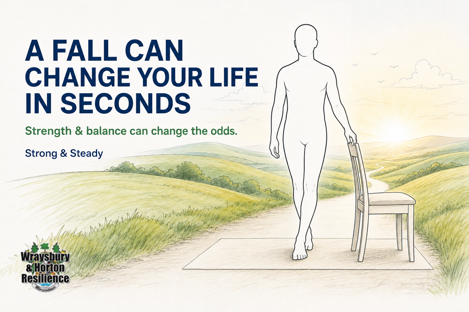
Don’t wait until after a fall

A fall can happen in seconds—but its effects can last much longer.
It may cause an injury, reduce confidence and make someone afraid to walk, go out alone or continue doing everyday activities. That loss of confidence can lead to less activity, further loss of strength and an even greater risk of falling again.
However, falling is not an inevitable part of getting older. There are practical things we can do to reduce the risk—and regular strength and balance exercise is one of the most important.
Why start from 50?
From around the age of 50, muscle mass and bone density naturally begin to decline. This can happen gradually, so we may not notice the difference until getting out of a chair, climbing stairs or recovering our balance becomes more difficult.
Starting earlier helps us build and maintain the strength we may depend upon later.
You do not need to feel old, unsteady or at risk of falling before strength and balance exercises become worthwhile. They are an investment in your future mobility and independence.
Isn’t walking enough?
Walking is excellent for your heart, circulation, fitness and general wellbeing—but walking alone may not sufficiently challenge all the muscles and balance skills needed to prevent falls.
Specific exercises can help strengthen the legs, improve coordination and train the body to respond when we stumble or lose our balance.
The latest UK Chief Medical Officers’ guidance recommends that adults undertake muscle-strengthening activities on at least two days each week. Older adults should also include activities that improve strength, balance and flexibility on at least two days a week.
Small exercises can make a meaningful difference
Strength and balance activity does not have to mean joining a gym or lifting heavy weights.
Depending upon your ability, it could include:
- practising standing up from a chair
- controlled heel raises
- gentle knee bends
- stair climbing
- resistance-band exercises
- Tai Chi, yoga or dancing
- carefully practised balance exercises
Regular exercise can help you:
- stay steadier on your feet
- get up from a chair more easily
- manage steps and stairs with greater confidence
- maintain stronger muscles and bones
- feel more confident when walking
- continue doing the things you enjoy
- remain independent for longer
Some is better than none
It is never too early—and rarely too late—to begin.
Exercises should be appropriate for your present health and ability. Begin gradually and use a stable support where instructed. If you have already fallen, feel very unsteady, have not exercised for some time or have a health condition that concerns you, speak to your GP, physiotherapist or another appropriate healthcare professional before beginning.
Take your first step today
Our Strong & Steady page provides practical information to help you understand your risk and begin improving your strength and balance safely.
👉 Visit Strong & Steady
Please also share this page with friends, relatives and neighbours aged 50 and over. A simple conversation today could help someone remain strong, steady and independent in the years ahead.
-
⚠️ A FALL CAN CHANGE YOUR LIFE IN SECONDS
Strength and balance can change the odds.
From around the age of 50, we naturally begin to lose muscle strength unless we actively maintain it. Over time, this can affect our balance, confidence and ability to remain independent.
Walking and keeping busy are excellent for your health—but they may not be enough on their own. Specific strength and balance exercises are important too.
The latest UK physical activity guidance recommends including strength exercises at least twice a week. As we get older, regular balance exercises become increasingly important as well.
The good news is that you do not need a gym or expensive equipment. Simple exercises at home can help you:
✅ stay steady on your feet
✅ get up from a chair more easily
✅ manage stairs with greater confidence
✅ reduce your risk of falling
✅ maintain your independence for longerDon’t wait until after a fall to think about your strength and balance.
Visit our Strong & Steady guide and take the first step today:
👉 https://resilience.wraysbury.com/strong-and-steady
Please share this with friends, neighbours and family members aged 50 and over. It could make a real difference.
For more information:
Come along to The Wraysbury Health Hub Falls Prevention Special Event on Tuesday 11th August 9.30 to 12.30 @ Wraysbury Village Halls.
#StrongAndSteady #FallsPrevention #StayIndependent #HealthyAgeing #Wraysbury #Horton
-
Heat health alert updated for the South East
The amber heat health alert is in effect from9AM on 11/08/2026 until 10AM on 15/08/2026 across the South East. The amber alert has a matrix score of 12. This means:
Significant impacts are likely across health and social care services due to the high temperatures, including:- a rise in deaths, particularly among those aged 65 and over or with health conditions. There may also be impacts on younger age groups
- likely increased demand on all health and social care services
- internal temperatures in care settings (hospitals and care homes) may exceed the recommended threshold for clinical risk assessment
- the heat affecting the ability of the workforce to deliver services
- indoor environments overheating increasing the risk to vulnerable people living independently in community and care settings
- issues managing medicines
- staffing issues due to external factors (for example, affecting transport)
- increased demand for power exceeding capacity
- other sector starting to observe impacts (for example, travel delays)
- water-related incidents may increase, including risks from cold-water shock and drowning
☀️ Read our Extreme Summer Weather Guide
-
Heat health alert issued for the South East
The yellow heat health alert is in effect from 9AM on 08/08/2026 until 9PM on 11/08/2026 across the South East. The yellow alert has a matrix score of 10. This means:
Significant impacts are possible across health and social care services due to the high temperatures, including:
a rise in deaths, particularly among those aged 65 and over or with health conditions. There may also be impacts on younger age groups
a likely increase in demand for health services
internal temperatures in care settings (hospitals and care homes) may exceed the recommended threshold for clinical risk assessment
the heat affecting the ability of the workforce to deliver services
indoor environments overheating increasing the risk to vulnerable people living independently in community and care settings
water-related incidents may increase, including risks from cold-water shock and drowningFor more information on coping with extreme summer heat, click Here
-
Are you protecting yourself from Mental Decline?
👂 Did you know…
A hearing test could help protect your brain health?
Current research suggests that untreated hearing loss is linked with an increased risk of cognitive decline.
Find out why—and discover what else might help protect your brain.
🧠 Take the Brain Health Challenge today.
Wraysbury and Horton Resilience – Supporting the Community.

Wraysbury & Horton Resilience – Supporting the community -
Alert Status Update
There are currently no health alerts or other expected risks to our community.
Whilst we have identified no community-wide risks, we advise residents to remain vigilant and mindful to protect themselves, their neighbours and our wider community. We should be aware of risks to individual households, such as scams, cybercrime and theft. Always stay aware, and use this opportunity to prepare ourselves for any potential problems.
Use the guidance on our website to protect yourselves.